

- PRESS RELEASE : FCDA Refutes Strory on Demolition of National Mosque
- Power Supply to Life Camp, Gwarinpa, Others to Improve, AEDC Assures Residents.
- SCENE FROM THE ONGOING OVERSIGHT VISIT BY MEMBERS OF THE SENATE COMMITTEE ON FCT
- OVERSIGHT VISIT BY MEMBERS OF THE SENATE COMMITTEE ON FCT.
- Abuja Flooding: All Obstructions on Waterways to be cleared – Executive Secretary.
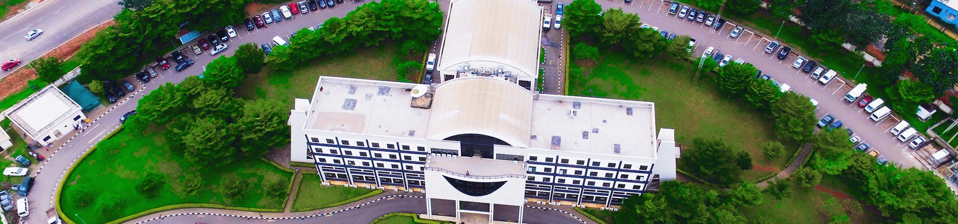
Survey and Mapping
Before the creation of this Department in May 2004, by the then Minister of the Federal Capital Territory, Mallam Nasir El-Rufai, Surveying was an integral part of the former Departments of Land, Planning & Survey and Planning & Survey respectively It is vested statutorily with all Surveying and Mapping works in the Federal Capital Territory. This includes:
- Survey activities of parcel of lands in the FCT
- Layout Designs
- Production of TDP for certificates of Occupancy
- Demarcation of farm lands, and quarry sites in the regions.
- Maps production of varying scales such as Digital & line maps for the FCT.
- Re-establishment of controls in and around the FCT
- Charting & Recording of plots allocated
- Documentation of plots
- Supervision of all registered surveyor practicing in the FCT.
And to accelerate action in an ever growing and demanding environment, the Department is further split into divisions with each performing complimentary but distinct functions. Below are the divisions and their functions.
- URBAN SURVEY:This division carries out survey work within the Federal Capital City; including the survey of parcels of land, layouts, perimeter and cadastral zones. It also produces survey data to be used for Title Deed Plans (TDP). And it is further divided into Urban Survey North and Urban Survey South.
- REGIONAL SURVEY:The division co-ordinates survey activities (as is done in Urban Survey) but its activities are limited to the six Area Councils of the FCT. It is also charged with the task of demarcation of farm lands, quarry sites and mining areas in the regions as well as the supervision of activities that affect inter-state or inter-local boundary(ies).
- MAPPING & CONTROL:This division produces maps of varying scales such as digital and line maps for the FCT. It is also in charge of the re-establishment of controls in and around the FCT.
- CARTOGRAPHY:This division undertakes the job of the charting and documentation of plots, the verifying of plots charged for TDP and the determination of the actual status of these plots. It is also in charge of map reproductions and plant preparations. Cartography is further structured into sections which are: Charting and Reporting; Records; Plan Preparation; Map Reproduction and Fair Drawing.
- LOGISTICS:This unit provides for the needs of the Department; Coordinates the logistics of various sections of the Departments in the area of budget, manpower and equipment procurement; Coordinates Survey contracts, and the monitoring/evaluation of Survey for payment; Maintains the periodicals and maps of other Departments in its archives; Handles the Training and Development of Personnel.
PROJECTS IMPLEMENTED SO FAR
- Establishment of Abuja Geographic Information System (AGIS):The Department of Surveying and Mapping contributed in no small way to the creation and establishment of AGIS. Its contributions include, the bulk of the technical manpower, Cadastral and Topographical maps, background survey data etc.
- The Demarcation and Survey of Gosa Resettlement Town:A layout of about 4,060 plots was designed for allocation to some displaced villages. The Department carried out the survey and has further submitted to the Authority, the final data including a Cadastral map sheet for implementation.
- The Demarcation and Survey of Federal Government Houses in FCT:In line with the monetization policy of the federal government to dispose of all the non-essential residential houses nation-wide, the Department was directed to demarcate and survey all such houses in the FCT.The project was divided into three stages. Stage I which covered about 2000 houses located at Gudu (Apo Housing Estate) and Gwarimpa (FCDA Life Camp) was executed on an in-house basis. The Stage II which covered about 900 houses located in the remaining districts in the City area was contracted out to survey consulting firms. And Stage III which covered Satellite Towns and Area Council Headquaters was also executed through consultancy services.
- The Abuja Technology Village: the perimeter survey of the above project has been completed while plots demarcation, road alignments and topographical survey are currently being done.
DEPARTMENTS
© 2024. Federal Capital Development Authority (FCDA). All Rights Reserved.